Mastering Visual SLAM: Navigating the Future with Advanced Visual Navigation Technologies

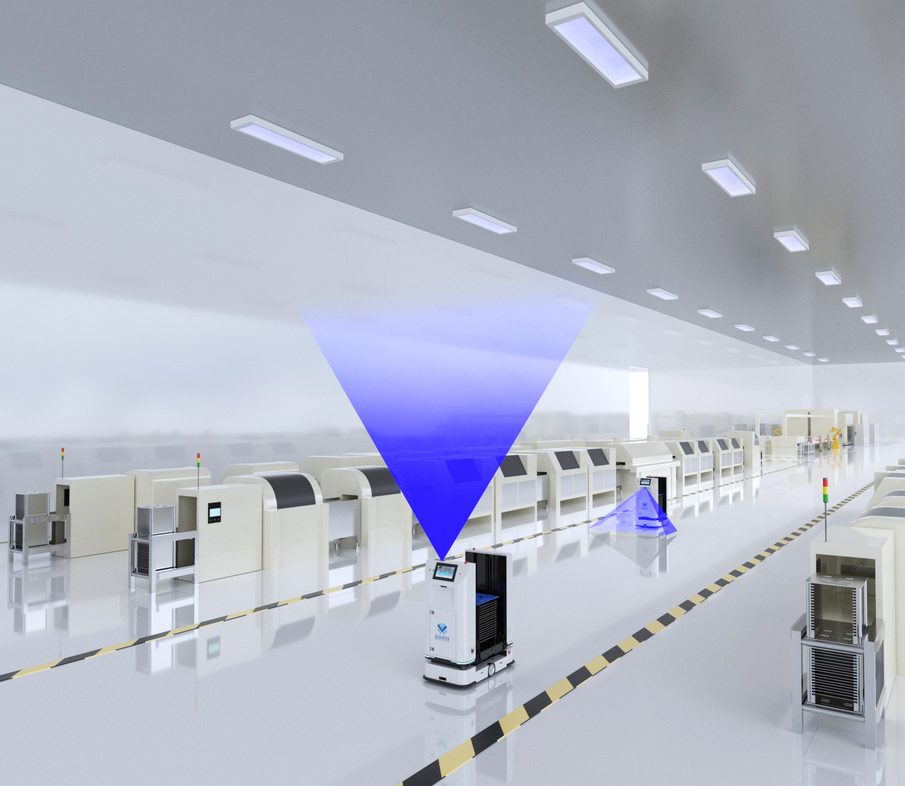
Visual navigation is a technology where a camera captures images of the surrounding environment, processes these images, determines its own position and path, and makes navigation decisions. This post will cover an overview of visual navigation technology, explain how it works, delve into the implementation paths for Visual SLAM, and discuss the advantages and challenges of visual navigation AGVs. Additionally, solutions to these challenges and the increasing applications of visual navigation technology will be explored.

How Visual Navigation Works

The core of visual navigation systems involves capturing environmental images through cameras and then processing these images using computer vision algorithms to identify features and obstacles. The system calculates its position and movement path based on these features and obstacles, making navigation decisions accordingly. These decisions can control the movement of mobile robots, enabling automatic navigation and obstacle avoidance.

Implementation Paths for Visual SLAM

Visual Simultaneous Localization and Mapping is a technique for constructing a map of an environment while simultaneously keeping track of an agent’s location within it. It is a crucial component of visual navigation technology, with three main implementation paths:

  1. RGBD Depth Cameras: These cameras, which emerged around 2010, use infrared structured light or Time-of-Flight (ToF) technology to measure distances directly.
    • Benefits: Directly measures pixel distances, providing rich information.
    • Drawbacks: Limited range, high noise, narrow field of view, primarily used indoors.
  2. Monocular (Fisheye) Cameras: Known as MonoSLAM, this approach uses a single camera. It is simple and cost-effective but lacks scale information.
    • Benefits: Simple and low-cost.
    • Drawbacks: Lacks scale information, requires movement to estimate depth.
  3. Stereo (or Multi-Camera) Vision: This approach uses the baseline between cameras to estimate spatial points, requiring complex calibration and high computational power.
    • Benefits: Provides accurate depth estimation.
    • Drawbacks: Complex setup and calibration, depth range limited by baseline and resolution, high computational power needed.

Advantages of Visual Navigation AGVs

  1. No Need for Fixed References: Visual navigation systems do not require pre-set fixed reference points and can adapt to changes in the environment in real-time.
  2. High Precision in Automated Assembly Lines: Visual navigation technology offers high precision in automated assembly lines, improving production efficiency.

Challenges and Solutions

  1. High Dependency on Lighting Conditions
    • Challenge: Visual navigation systems are highly sensitive to lighting conditions, and changes in lighting can affect navigation accuracy.
    • Solution: Implement advanced image processing algorithms that can adjust for varying lighting conditions. Use high dynamic range (HDR) cameras to handle different lighting levels and ensure consistency in image quality. Additionally, integrate auxiliary lighting systems that provide consistent illumination in critical areas to stabilize navigation performance.
  2. Requires Auxiliary Sensors in Dark or Texture-less Areas
    • Challenge: In environments with insufficient light or lack of distinct textures, visual navigation systems need additional sensors to supplement information.
    • Solution: Combine visual navigation with other sensor technologies such as LiDAR, ultrasonic sensors, and infrared sensors. These sensors can provide necessary data in low-light or featureless environments, enhancing the robustness of the navigation system. Sensor fusion algorithms can be used to integrate data from multiple sensors, ensuring reliable navigation across various conditions.
  3. No Pure Visual Navigation Systems Currently Feasible
    • Challenge: At present, purely visual navigation systems are not feasible and need to be combined with other navigation technologies for stable operation.
    • Solution: Develop hybrid navigation systems that integrate visual navigation with technologies like GPS, inertial navigation systems (INS), and wheel odometry. By combining these methods, the system can compensate for the limitations of each individual technology, providing a more robust and reliable navigation solution. Continuous research and development in Visual Simultaneous Localization and Mapping algorithms can also help reduce dependency on additional systems over time.

Increasing Applications

  1. Comparison with Laser-Guided AGVs: Although visual navigation technology lags behind laser-guided AGVs in terms of precision, its cost advantages and strong information acquisition capabilities make it a key future technology.
  2. Cost Advantages and Information Acquisition Capabilities: Visual navigation technology is cost-effective and can acquire rich environmental information, making it suitable for complex usage scenarios. This advantage positions visual navigation as a promising solution for various industrial applications, from logistics and warehousing to manufacturing and beyond.

Further Reading

For a deeper understanding of visual navigation and its applications in mobile robotics, check out this post on Visual Odometry and Visual SLAM in Mobile Robotics. This article delves into the concepts of visual odometry, its role in mobile robotics, and how it complements Visual Simultaneous Localization and Mapping to enhance navigation accuracy and efficiency.

To explore more about the pros and cons of Automated Guided Vehicles (AGVs) and how they compare to other navigation technologies, you might find this post on Automated Guided Vehicles: Pros and Cons insightful. It provides a comprehensive overview of the benefits and limitations of AGVs, offering valuable insights into their applications and effectiveness in various industrial settings.

Share to:
Recently Released
Contact Us