
A ceiling-referenced sensor fusion approach to real-time vehicle positioning, tested in a working warehouse in Dusseldorf.
The Challenge: Positioning in a Dynamic Warehouse
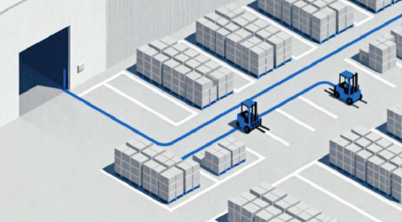
In a live warehouse environment, obtaining reliable position data from a manually operated forklift is inherently difficult. Pallets shift. Aisles become temporarily obstructed. People and vehicles constantly alter the scene at floor level. And repetitive racking structures offer few distinctive features for a localization system to lock onto.
Common approaches rely on fixed-anchor technologies – such as UWB networks, reflectors, or magnetic strips – to track manually operated forklifts. But these solutions often require extensive infrastructure installation across the entire operating area. For brownfield sites looking to add fleet tracking without facility-wide modifications, this can be a significant barrier.
The Test: A Vehicle-Mounted Alternative
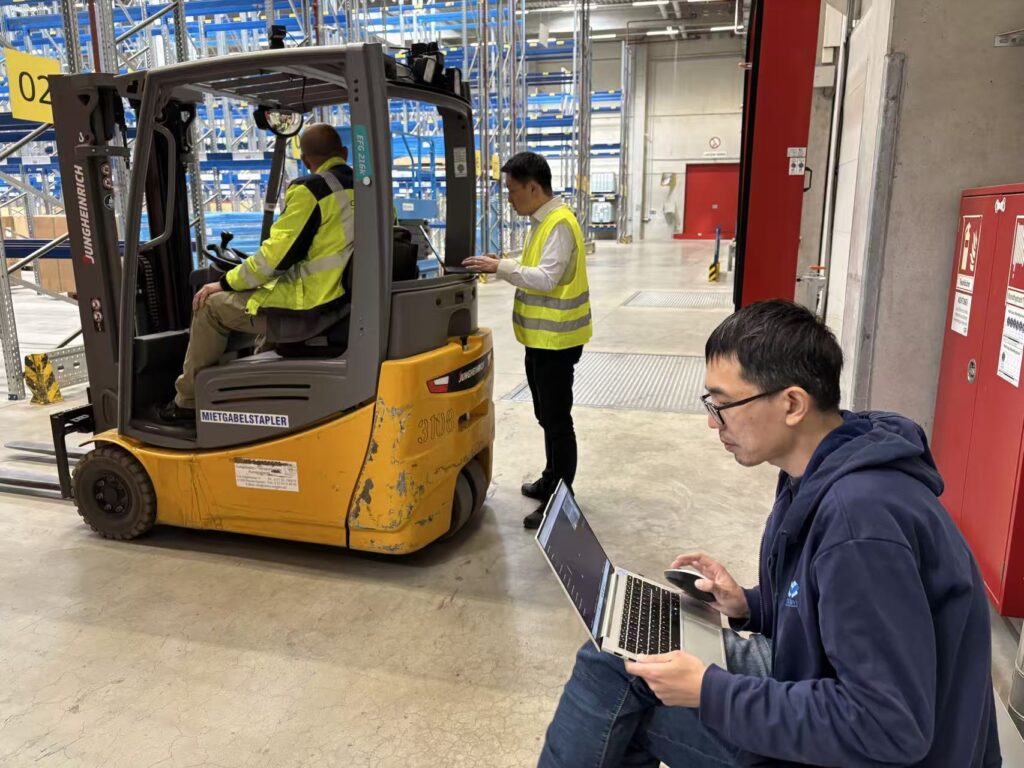
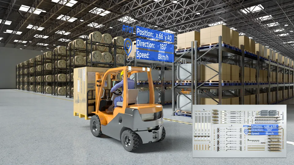
In June 2026, an engineering test was conducted at a warehouse in Dusseldorf, Germany, to evaluate a vehicle-mounted alternative. A manually operated forklift was fitted with a V2 Pro localization unit and tested during normal operation – including rapid maneuvers, load handling, and lifting activity – to assess real-world performance.
The unit first created a digital map of the work area. It then calculated the forklift’s X-Y position and heading as it traveled through the warehouse.
The result: centimeter-level localization was maintained throughout the engineering test and subsequent trial operation, with zero signal loss recorded during either stage.
How It Works: Fusion-SLAM™ Technology
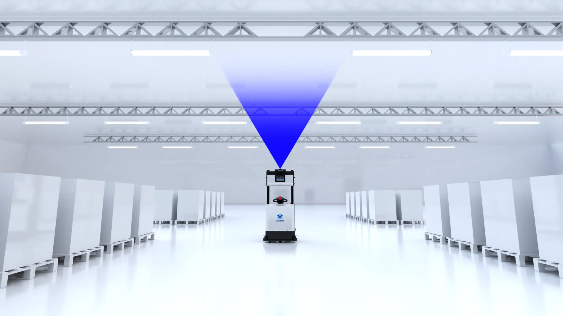
The V2 Pro builds on traditional 2D LiDAR by adding an upward-facing camera, combining visual SLAM with LiDAR-based mapping. The approach is based on a simple but powerful observation: ceiling structures – including beams, lights, pipes, and roof geometry – offer more stable and reliable features for mapping than the constantly changing activity around a warehouse floor.
The camera captures overhead features, the LiDAR supplies planar geometry, and an IMU provides motion data during acceleration and turning. These three data sources are fused through MRDVS’s proprietary Fusion-SLAM™ algorithm – a tightly-coupled, deep-learning-enhanced engine refined through nearly a decade of real-world deployments. The system continuously evaluates and weights multi-sensor data in real time, adapting to environmental conditions to ensure reliable, uninterrupted operation.
Key Advantages: Infrastructure-Free, Vehicle-Centric
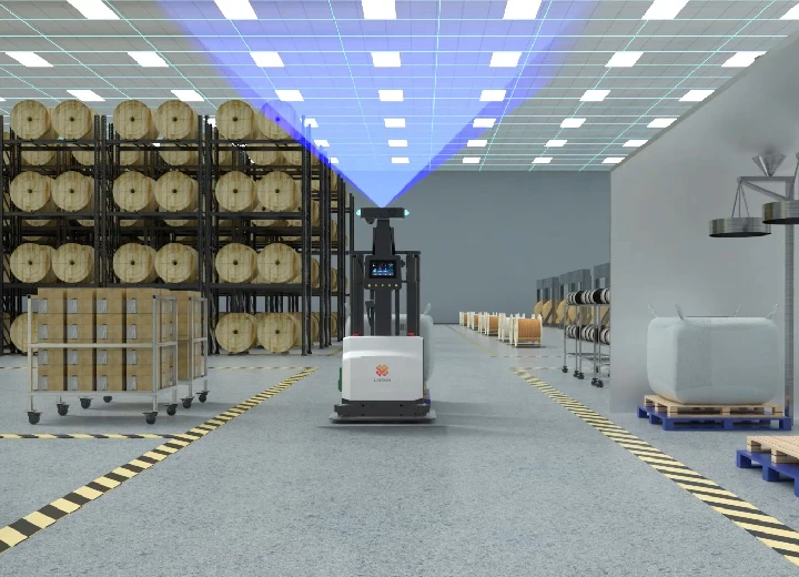
Once mapped, the system requires no facility-wide infrastructure – no UWB anchors, no reflectors, no magnetic strips, and no permanent marker grid. Optional QR codes can still be used for rapid re-localization at selected points, but they are never required for core functionality.
This vehicle-mounted architecture shifts the deployment burden:
| Traditional Fixed-Anchor Systems | V2 Pro Vehicle-Mounted Approach |
| Cost scales with facility area | Cost scales primarily with vehicle count |
| Requires installation across entire site | Hardware is installed per equipped vehicle |
| Extensive upfront infrastructure investment | Predictable, linear cost scaling |
This makes the V2 Pro particularly well-suited for large warehouse environments where fixed-anchor solutions become prohibitively expensive.
Proven, Commercial, and Scalable
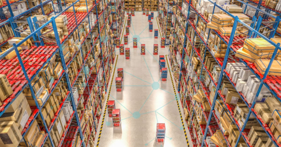
MRDVS has since made the V2 Pro commercially available across the Americas, Europe, and Asia. The Dusseldorf test and subsequent trial operation provide a live-warehouse reference point for applying ceiling-referenced sensor fusion to existing forklift fleets.
Since deployment, the system has been validated across diverse environments – from photovoltaic manufacturing facilities with 500+ AGVs to logistics warehouses and production plants. It powers material handling operations with stable, drift-free positioning, regardless of operating duration or distance traveled.